
Trace a Northville Township Street by Address
A practical Northville Township street search starts by standardizing the address, then moves through public systems that use the parcel as a bridge. USPS can confirm a plausible mailing format, but it cannot identify a person. The Township assessor record can connect a situs address to a parcel and recorded owner fields when displayed. Wayne County GIS then helps confirm the parcel geometry and municipal setting. The Register of Deeds supplies recorded instruments, while the historical criss-cross volumes offer dated address-to-household snapshots. Each source has a narrower purpose than a general name list, so record the field that actually matched rather than treating one result as a complete answer.
- Use the USPS address lookup to check the street, unit, postal city, state, and ZIP format. Save the standardized form, not a guess based on a postal label.
- Enter the address in Northville Township BS&A Online. Note the assessed parcel and the record year shown by the service.
- Open Wayne County Maps & Data, pan to the same segment, and select the parcel to confirm its geometry and municipality.
- Use the parcel or legal-description clue in the Wayne County Cloud Search to trace the recorded transfer from grantee to prior grantor.
- For a past household clue, compare a close directory year at Mill Race or the library with the recorded date. Treat it as a dated snapshot, not current occupancy.
Note: A matching address is the beginning of a Northville Township street trail, because ownership, postal delivery, and residence are separate facts.
Confirm the Northville Township Municipality
Northville Township and the City of Northville are separate governments. A Northville postal city, a nearby city service, or a ZIP alone does not settle which government holds the property record. Before relying on a street result, compare the BS&A record and Wayne GIS municipality context. The legal description in a recorded deed is another useful check when an address sits near an edge. This is especially important around the Township's Mile Roads and nearby communities, where mailing labels can cross municipal boundaries.
The Postal Bulletin records that part of the former 48167 area moved to 48168 on July 1, 2005. That postal change can explain why an older address carries a different ZIP, but it does not establish a move or change the parcel's government jurisdiction.
Search Northville Township Street Records in BS&A
BS&A Online for Northville Township is the local starting point for a street address, owner name, or parcel number. Its landing page also links to detailed property records, current tax, building-department records, property sales, assessing, utilities, and delinquent personal-property services. The portal describes its information as reference material rather than a warranty. Exact result-card labels and partial-match behavior were not retained in the research, so read the current form and confirm a material result with Township Assessing instead of assuming an unstated field or filter.
| BS&A field or route | Input type | Required | Northville Township use |
|---|---|---|---|
| Address | Text search | Not stated | Begin with a house number or street address. |
| Name | Text search | Not stated | Find an assessed owner record; exact syntax is not published. |
| Parcel Number | Text search | Not stated | Use the local assessor identifier as displayed. |
| Detailed Record Search | Service tab | Not stated | Open the expanded property route and inspect its current fields. |
| Building Department Record Search | Service tab | Not stated | Follow an address to permit and inspection material. |
| Property Sale / Assessing | Service tabs | Not stated | Use the appropriate service, since the portal is not one uniform record set. |
Township assessment and taxpayer records may also be inspected at Township Hall or requested electronically through the Township's Public Act 660 route. The Assessor's listed phone is 248-348-5811, which is the proper local contact for current assessment questions.
Read a Northville Township Street in Wayne GIS
The County map is best used to see the street segment, not to claim a certified ownership result. Wayne County's interactive mapping materials allow pan, zoom, and parcel selection. The inspected ParcelViewer REST service exposes one parcel layer, prcls_fullAdd_parsed_FINAL, with query and export capabilities. Its service metadata sets a maximum record count of 2,000. The research did not verify a local popup-field list, a whole-street resident export, or a buffer tool. Browse and select the adjacent parcels manually, then carry the parcel ID to BS&A or the deed index.
A capture from the Wayne County maps landing page shows the county's public mapping route for parcel, road, and park context.
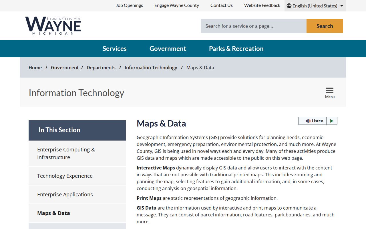
Use a selected parcel as a map-and-address bridge only. The map geometry should be checked against the local assessment record and the legal description when the distinction matters.
Northville Township Street Address Terms
A Northville Township street directory becomes easier to read when the record terms stay separate. A tax mailing address may be useful for contacting the recorded owner, but it can be elsewhere and does not prove that person lives at the parcel. The same caution applies to any homestead indication shown on a property record. It can support an owner-occupancy tax claim for a stated period, not a complete account of the people at an address.
- Parcel
- A distinct tract in the assessment and GIS system, usually identified by an assessor or parcel number.
- Situs address
- The physical address where the parcel is located.
- Legal description
- The lot, block, subdivision, metes-and-bounds, or other land description used in recorded title documents.
- Criss-cross directory
- A historical directory arranged by address so a researcher can find the listed household or head of household for a specific year.
Follow Deeds Along a Northville Township Street
The Wayne County Cloud Search is the current entry point for recorded land instruments. County guidance describes online index and image access from January 1, 1960. Work before that date moves to Register of Deeds office or mail research. A free public name listing does not make every address, legal-description, parcel, or Liber and Page search available without the portal's registered or On Demand access. Images, printing, and expanded access can involve charges, while office and mail routes remain available when the online result is incomplete.
Start with the current grantee shown by a matched property clue. Capture the document type, recording date, legal description, grantor, and the instrument or Liber and Page reference. Then search the grantor as an earlier grantee, using the legal description or lot and block to prevent a same-name error. The recorded chain establishes transfers, not present residence.
The Wayne County land-record search is shown here as the source for the deed-index route.
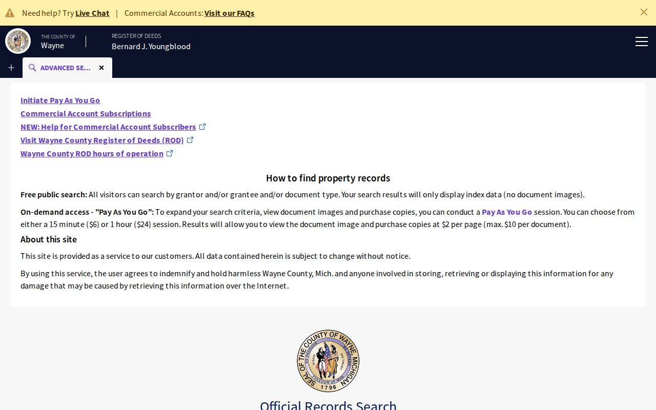
When a search reaches the online cutoff, retain the legal description and recorded reference before contacting the Register of Deeds. Those details make an office or mail request more precise.
Northville Township Street Permit Clues
Address-linked permits can date work at a parcel without identifying a household. The Township Building Department administers the Michigan Building Code, reviews plans, issues permits, and conducts inspections. Its addition guide gives a usable path: search the address in BS&A, select the correct property, open Building Department, and then open Permits. An entry may show inspection results or an approval or correction notice. It identifies a project and any applicant or contractor fields that are released, not proof that a named person lives there or that work is complete.
The Building Department is listed at 44405 Six Mile Road, with phone 248-348-5830 and weekday hours of 8:00 to 4:30. Planning records, meeting minutes, site plans, variances, and subdivision materials can add a date-specific land-use context when the parcel and project name match.
Northville Township Street Records by Source
Use the source that matches the question. The street directory has no single public function that lists every current resident on a road. Assessment, GIS, title, permit, tax, and historical-directory sources overlap at the address but carry different dates and limits. Keeping those roles separate allows a street result to be checked instead of overstated.
| Address-keyed source | Custodian | Street-level value | Access and limit |
|---|---|---|---|
| Assessment / tax card | Township Assessor / BS&A | Parcel, tax year, values, and owner or mailing fields when displayed | Online reference search, inspection, or electronic request; owner is not occupancy. |
| GIS parcel | Wayne County GIS | Geometry, address or ID bridge, roads, and map context | Interactive map and REST query; not title certification. |
| Recorded instrument | Wayne County Register of Deeds | Grantor, grantee, date, legal description, and recorded reference | Free name listing, with account, office, or mail paths for more access. |
| Delinquent tax | Wayne County Treasurer | Delinquent real-property account for a street or parcel | Public tax search; it is not a current-payment status tool. |
| Permit / inspection | Township Building Department / BS&A | Dated project and inspection trail | Address workflow and department contact; no residency conclusion. |
| Planning / zoning | Township planning records | Subdivisions, site plans, variances, and land-use decisions | Documents and meeting materials; no complete searchable archive field list was found. |
| Historic criss-cross | Library / Mill Race | Address-to-household snapshot for selective years | Archive or library access, with gaps between runs. |
Northville Township Street ZIP Geography
Postal geography is a useful clue for a Northville Township street directory, but it never replaces the municipality field. Township addresses use 48167 and 48168 in the documented Northville delivery area. Research also found a possible 48170 southern or western mailing pocket, but did not obtain complete address-level USPS confirmation for Township coverage there. The City of Northville, Northville Township, Novi and Salem edges, and nearby Plymouth-area delivery addresses can share postal wording or ZIP context.
For a recent address, check USPS by address. For a historic address, preserve the original ZIP beside the date and test the later code when the record falls around the 2005 transition. Use BS&A, GIS, and the legal description to establish the Township connection.
Note: A ZIP change can explain a failed address match, while the parcel's municipality establishes which local record system should be used.
Historic Northville Township Street Reading
For family-history or former-household research, Mill Race Village and the Northville Historical Society hold local directory runs from 1895; 1927 through 1935; 1946; 1956; 1958; 1960; 1968; 1970; 1975 through 1979; and 2006 through 2009. These are discontinuous runs. A criss-cross entry should be treated as evidence for its printed year and checked against the nearest deed date, newspaper item, census, permit, or house file. The historical collections themselves are described in greater depth in the Northville Township Directory Book.
Do not invent an address renumbering history. The research did not locate a verified Township readdressing chronology or a public whole-street directory. Retaining old abbreviations, the historic ZIP, legal description, and date gives an archive researcher the strongest bridge.
Limits of a Northville Township Street Directory
Property records can identify an assessed or recorded owner. They do not provide a complete public list of renters, household members, utility customers, or current occupants. Michigan motor-vehicle data is restricted by the federal Driver's Privacy Protection Act and Michigan law. Voter material has its own access route: Michigan's QVF FOIA process can be scoped by jurisdiction or precinct and removes protected fields such as full birth date, phone, email, signature, identification data, and protected-voter information. It is not a casual street-by-street web roster.
Northville Township Property Alert Context
Wayne County's Cloud Search includes a Property Alert and Fraud Guard context for watching newly recorded instruments under registered names. It can be useful when a property owner wants notice of a new recording, but it is not a title guarantee and does not stop a document from being recorded. Suspected forged or fraudulent conveyances belong with the County's Mortgage and Deed Fraud Unit, while ordinary title questions belong with the Register of Deeds.
The ParcelViewer REST service is also shown in a neutral source capture from the Wayne County ParcelViewer layer.
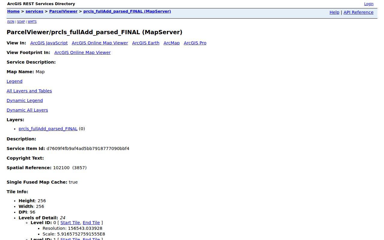
Layer metadata and a map export describe parcel geography. They are not a certified ownership card or an official conclusion about who occupies an address.