
Check Northville Township Neighbors by Block
Public records can supply several views of a block, but none is a complete list of every person who lives nearby. Wayne GIS shows parcel geometry and a way to move from an address to adjoining parcels. BS&A provides assessment and property routes for a selected address or parcel. The Register of Deeds holds the recorded ownership trail. Michigan's voter file is accessible through a governed FOIA process with redactions, not as a casual block roster. Historical criss-cross directories and community pages are dated or self-published layers that need their own limits. Start with the source that answers the exact question.
| Source | What It Shows About a Block | Access |
|---|---|---|
| Wayne County GIS | Adjacent parcels, street geometry, parcel identifiers, and map context | Pan, zoom, click, and select in the public map; use the ID as a bridge. |
| Northville Township BS&A | Assessment and property information for an entered address, owner name, or parcel | Reference search with address, name, and parcel modes; no full-block export was verified. |
| Wayne County Register of Deeds | Recorded instruments and ownership history for selected parcels | Name and recorded-reference paths, with account, office, and mail options for fuller access. |
| Michigan QVF | Lawfully supplied voter fields in a jurisdiction or precinct scope | FOIA request with statutory redactions; not a casual block list. |
| Historic criss-cross records | Address-to-household or head-of-household snapshots for selected years | Library and Mill Race access, with gaps between historical runs. |
| Community association page | Public notices, amenities, boundaries, or voluntary board contacts | Self-published organization information; a membership roster is not assumed. |
An owner entry establishes an ownership record. It does not prove occupancy, identify every household member, or turn an adjoining parcel into a current neighbor list.
Select Northville Township Parcels in GIS
Wayne County's interactive mapping route supports pan, zoom, and parcel selection. Begin with the supplied address, then click its parcel and note the parcel identifier and municipal context before selecting each adjoining polygon. The inspected ParcelViewer service exposes a parcel layer with JSON, GeoJSON, PBF, query, and export capabilities. Its metadata lists a maximum record count of 2,000. No verified radius or buffer control was exposed in the inspected materials, so the defensible method is to browse the immediate segment and select parcels one at a time.
A neutral parcel-context export from the Wayne County ParcelViewer service shows the map layer used for this starting step.
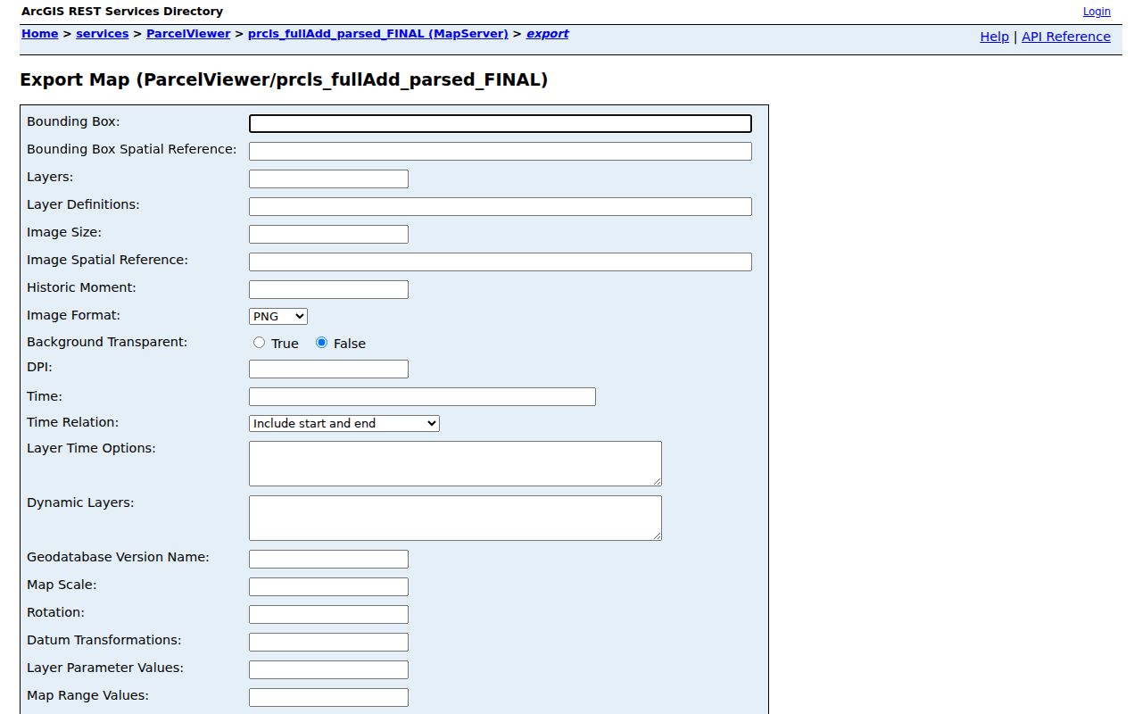
The parcel geometry and street pattern help identify what adjoins the starting address. They do not certify title or supply the identity of a current occupant.
Map Northville Township Neighbor Parcels
Use the same sequence for every adjacent parcel so results do not get mixed across a block. The map supplies geography, BS&A supplies the assessment route, and the deed index supplies recorded transfers. This is a parcel-by-parcel process, not a block-radius search.
- Locate the starting address in the County map and select its polygon. Record the municipality and parcel ID shown by the current map.
- Click each touching parcel and retain its own identifier rather than copying the starting parcel's record across the street segment.
- Search the matching address or parcel in Northville Township BS&A Online. Compare the situs address, tax year, and owner or mailing fields only when displayed.
- Use the parcel or legal-description clue in Wayne County Cloud Search for a dated recorded instrument. A current grantee can lead backward to an earlier grantor.
- For a full named-street chain, use the Northville Township Street Directory rather than extending an immediate-block review beyond the sources that support it.
Note: A map selection bridges an address to a parcel, while the assessment card and deed each answer a separate ownership question.
Northville Township Neighbor Record Terms
Keep property terminology precise when checking Northville Township neighbors. The situs address is where the parcel sits. An owner mailing address is where tax notices are sent and may be outside the Township. A legal description can connect a deed to a lot, block, subdivision, or metes-and-bounds description when the street address is uncertain. The assessment record itself is a reference source. The Township asks users to contact the municipality for authoritative confirmation.
- Adjacent parcel
- A parcel that touches or directly adjoins another mapped parcel; map proximity alone may not establish a shared boundary.
- Owner mailing address
- The address used for tax-notice delivery, which can differ from the situs address and is not proof of residence.
- Recorded instrument
- A deed, mortgage, lien, discharge, plat, or other document indexed by the Register of Deeds.
- Criss-cross directory
- A historical address arrangement that identifies a listed household or head of household only for its publication year.
Northville Township Neighbor Source Types
Official parcel and recorded-document systems have defined custodians, dates, and access limits. Community pages serve a different role. Commercial neighbor-lookup categories may combine public filings, marketing data, and old address history, but their results can be stale, conflated, incomplete, or behind a payment wall. When a fact needs correction, the public custodian or organization that created the record is the right contact.
| Source category | Useful for | Do not treat it as |
|---|---|---|
| Official parcel and deed records | Parcel identity, assessment context, and recorded transfers | A current household roster or a substitute for certified title review. |
| Self-published community pages | Association context, amenities, notices, and public contact paths | A verified list of all residents or an address-confirmation service. |
| Commercial neighbor-lookup category | Possible lead to verify independently | An authoritative, current, or complete record of who lives on a block. |
Northville Township Block Voter Records
Michigan voter information has two different routes. The Michigan Voter Information Center is a voter-facing individual lookup, while the Qualified Voter File can be requested through a FOIA process with jurisdiction, precinct, and history choices. The QVF material can be scoped to a city or township jurisdiction, but it is not an open web tool for building a block list. Protected fields include driver or state-ID information, month and day of birth, phone, email, digitized signature, Social Security fragments, and protected-voter information.
Use the Township Clerk for local election contact and the Michigan QVF FOIA request form for a governed records request. The current fee was not stated on the inspected form, so ask for a written estimate instead of assuming a price.
Northville Township HOA Directory Lead
The Township Clerk's official records description includes a homeowner-association directory, and Township materials describe quarterly board invitations to HOA groups. That confirms an administrative records lead. It does not confirm a public downloadable directory or a roster of every household. Ask the Clerk whether an existing association directory is public, partially releasable, or subject to redaction. A specific request for an existing index or contact structure is more useful than a request for a new neighbor database.
Public community organizations can add meeting notices, amenities, boundaries, and public role information. They should be read as self-published material with their own update date.
| Organization or custodian | Public path | Supported use | Important limit |
|---|---|---|---|
| Northville Township Clerk | Clerk records and FOIA contact | Ask whether an existing HOA directory or association contact structure is releasable. | No public Township household roster was located. |
| Lexington Commons Association | Association public page | Review self-described community context, amenities, and public notices. | Its public page is not a complete resident directory. |
| Northville Colony Estates 3/4/5 | Association public page | Use welcome material, lot or street navigation, and public association contact information. | Do not infer current occupancy or association membership. |
Lexington Commons Community Context
Lexington Commons Association describes its own community as three subdivisions with 162 houses and two condominium associations with 192 condos. Its page also describes North Park as 13 acres, South Park as 7 acres, and 2026 dues of $294 for houses and $147 for condos. These are association-provided figures that can change. They describe a community layer, not a public person list or proof that someone currently lives at a particular address.
Use the association's own page for its stated notices, amenities, and public contacts. Confirm individual property questions through the parcel, assessment, or recorded-document route instead.
City of Northville Is Separate Context
The City of Northville neighborhood page describes the City's Historic District, Cabbagetown, Beal Town, subdivisions, and condominium context. It is useful only for the adjacent City of Northville. It must not be merged into Northville Township neighborhood information, because the City and Township are separate governments. Confirm a parcel's municipality in GIS and BS&A before applying any City neighborhood label to a Township address.
The City image supplies a boundary reminder, not a Township neighbor directory. A Northville postal label alone cannot resolve the distinction.
Historic Northville Township Neighbors
For former neighbors or family-history questions, use the historical layer with a date attached. Mill Race holds house and address files, directory runs, cemetery material, family papers, school records, business files, photographs, and oral histories. Northville District Library holds local-history resources, the Northville Record index and archive, yearbooks, and Voices of Northville interviews. A criss-cross directory can place a listed household at an address in a particular year. A newspaper item or oral-history reference can add context, but neither proves a living person's current address.
Pair the closest directory year with the deed date and parcel description. The local collections are selective and have gaps, so note the collection, year, and source rather than filling the gap with an assumption.
Privacy Limits for a Northville Township Block
Several kinds of block information remain private or protected. Property records do not list all renters or household members. Utility customer lists are not public, and motor-vehicle address data is restricted. Michigan's Address Confidentiality Program can provide a designated mailing address and mail forwarding for eligible people at risk. Voter, court, victim, juvenile, sealed, adoption, and protected-address information can also be withheld or redacted under the governing rules. A public map or recorded deed does not cancel those protections.
For a privacy concern, start with the actual custodian. The Michigan Attorney General's Address Confidentiality Program is the relevant safety route for eligible participants, while the public-record holder can explain its own redaction process.